
A Summit Township Street Walkthrough
Street-by-street research works best when each source has one job. The county GIS identifies the parcel now associated with an address. BS&A provides a second local property route. The Register of Deeds connects a parcel or a name to recorded land documents. Election records and older directories are different kinds of evidence, with their own access rules and dates. None creates a complete roster for a road. Together, they can document a property trail and help separate a current parcel fact from an older household clue.
Begin with the full street number and street name. Keep a simple note of the exact spelling, mailing city, portal date, PIN, and government unit. That note matters in Summit Township because a Jackson mailing line can belong to the township or to the City of Jackson. Do not combine those jurisdictions merely because the road name or postal city looks familiar.
- Search the address in the Jackson County GIS Parcel Viewer and save the PIN, situs address, legal description, and `GOVUNIT` result.
- Compare the same address in Summit Township BS&A with an address, name, or parcel-number search, keeping the owner and situs fields distinct.
- Use the owner name, document type, or parcel ID in the CountyFusion deed index. Search names as well as parcel IDs because a recorded document may have no parcel number.
- For a lawful voter question, use MVIC or the official QVF process for the appropriate registration information. Do not infer a current voter from a parcel or a mailing field.
- For an older household clue, preserve the original street spelling in a Jackson or Vandercook Lake criss-cross directory, then compare it with the modern parcel.
Search Summit Township Streets in GIS
The Jackson County viewer is the strongest starting point for a present street directory search. Its shared search box accepts a parcel ID, address, or owner name. Address queries use `P_FULLADD`; owner queries use `OWNER` and `OWNER2`; parcel-ID queries use `PIN`. A map click or manual selection works when an address is uncertain. The viewer also permits a selection box, and selected parcels can feed printable maps or reports.
When a small road segment needs closer review, the viewer's buffer tool accepts a distance from 1 to 1,000 feet and selects the parcel with nearby parcels in that buffer. The output is a map selection, not an official legal notice list. The assessment group exposes 2023, 2024, and 2025 assessed and taxable values in its current popup configuration. The county says the viewer is updated weekly, but the map warns that its parcel information may not align with every image or layer. Record the access date and the `UPDATED` value when preserving a result.
| GIS search field | Use | Result check |
|---|---|---|
| `P_FULLADD` | Full property address | Compare `P_CITY`, `P_ZIP`, and `GOVUNIT` |
| `OWNER` / `OWNER2` | Owner-name search | Treat `O_ADDRESS` as mailing data |
| `PIN` | Parcel identifier | Keep it with the legal description |
| Map click or selection | Uncertain address or a road segment | Check each selected parcel individually |
See the county parcel-viewer source before using its address, owner, and selection controls.
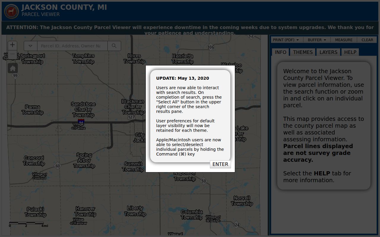
The viewer screenshot illustrates why a parcel card is more useful than a road name alone: it displays the location fields that support a Summit Township jurisdiction check.
Summit Township Street Directory Fields
Two addresses can appear on the same parcel card without conflict. `P_FULLADD` is the situs address, meaning the physical parcel location. `O_ADDRESS`, `O_CITY`, `O_STATE`, and `O_ZIP` are owner mailing fields. An owner can receive mail somewhere else, so a mailing line should never be treated as a statement about who occupies a building. The parcel card also supplies `P_CLASS`, `P_STATUS`, acreage, tax unit, school district, `LIBERPAGE`, `UPDATED`, and `LEGAL_DESC`.
- Parcel
- A mapped unit of land identified in the GIS by a PIN. It is an assessment and mapping reference, not a substitute for a deed.
- Situs address
- The physical street address of the parcel, shown by the GIS as `P_FULLADD`.
- Plat
- A recorded map that lays out lots, streets, and blocks. A legal description may refer to a plat even when its street number later changes.
- Criss-cross directory
- A historical directory arranged by address, often used to locate the household or business printed at that address in a particular year.
That distinction keeps a street directory honest. It can report which field a custodian displays, but it should not turn an owner mailing address, a directory entry, or a map label into a current residency claim.
Street Records Across Summit Township
Address-keyed sources answer different questions. The GIS parcel card gives a current mapped and assessed view. BS&A is the township's local service portal for property, tax, assessment, permit, utility, sale, and special-assessment routes. CountyFusion indexes recorded land documents. Michigan voter information tools and county election resources serve registration and precinct questions under state disclosure limits. Historic directories hold dated printed appearances, not present-day confirmations.
| Address record | Custodian | What it can establish | Access route |
|---|---|---|---|
| Parcel card and map | Jackson County GIS | PIN, situs, owner fields, legal description, government unit | Public web viewer; GIS contact by phone or email |
| Property and assessment services | Summit Township BS&A | Property, tax, assessment, permit, utility, sale, or special-assessment route | Basic public lookup by address, name, or parcel number |
| Recorded documents | Jackson County Register of Deeds | Recorded deeds, mortgages, releases, and document history | CountyFusion guest search; paid copy/download route |
| Registration and precinct status | Michigan SOS and Jackson County Elections | Status and official voting information subject to redactions | MVIC, county election pages, or lawful QVF request |
| Historical directory or map | Jackson District Library and archives | Printed address or street context for a stated time | Online collections, reference help, or in-library materials |
A PIN and legal description are the most useful bridge across these sources. A street name alone can span municipalities. A voter record, when lawfully available, is also not interchangeable with a parcel, deed, or directory entry.
Bridge a Street to Liber/Page
`LIBERPAGE` in the GIS can point toward land-record research, but a blank or malformed value does not prove there is no deed. The Jackson County CountyFusion portal permits guest access. The county's official instructions say to select Search Public Records, use a last name followed by a space and first name, or use a company name. Document-type checkboxes are available, and parcel searching leaves the name blank.
The Register of Deeds says its main-office page describes online deed, mortgage, and miscellaneous-document name searching from 1964 back to 1800, while its FAQ describes grantor/grantee searching from 1965 to the present. Preserve both statements as a coverage discrepancy and ask the office which applies to the document class needed. Results place document numbers under Liber/Page. After a selection, the save or download path uses a credit card and a print queue can collect several documents.
Use the CountyFusion search source for its guest-search and recorded-document interface.
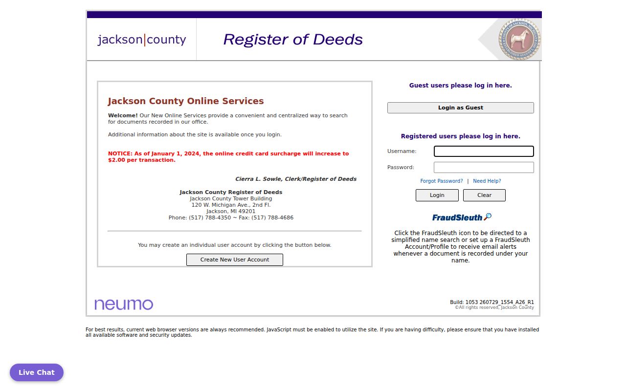
The CountyFusion image shows the county's public-record search entry point. It is a document index, so a name match still needs the right parcel, date, and document type.
Confirm Summit Township Before Counting
A Jackson mailing city does not settle the legal jurisdiction of an address. The City of Jackson occupies much of the northeast side of Summit Township and leaves an isolated northeast township corner. Vandercook Lake is a community within the township, not a separate municipal custodian. For any street result, compare the GIS `GOVUNIT`, `P_CITY`, `P_ZIP`, and `PIN` fields before grouping parcels under Summit Township.
This is especially important around a road that crosses a boundary. Postal labels, historical directories, and map layers can use different names for the same area. Treat the exact current government-unit field as the jurisdiction check; keep an older Jackson or Vandercook Lake label as a historical search term rather than rewriting it. A USPS result confirms an address format, not the governmental unit holding the local record.
BS&A for Summit Township Streets
The Summit Township BS&A municipality page identifies public paths for property, taxes, utilities, permits, assessments, special assessments, and sales. Address, name, and parcel number are the documented basic search modes. Address search supports a street address and a street-number range, including an advanced address option. Name search accepts a person or entity name. These choices make BS&A a useful companion to the GIS record when a street-directory search needs township service context.
Dedicated Summit forms for assessment, building, tax, and utility records could not be fully inspected during research. Their exact field lists and historical date coverage were not verified, so do not assume every service will show the same columns. Basic lookup does not require an account; payment and property-claim functions follow separate rules, and the portal says up to five properties may be claimed without charge.
Open the official BS&A municipality page to choose the relevant Summit Township service.
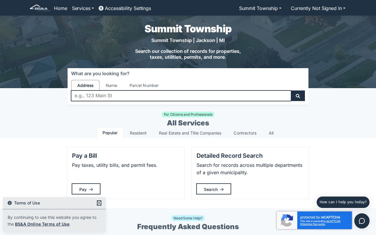
The BS&A landing view helps separate a property or assessment question from a permit, utility, or special-assessment question before a search begins.
Historic Summit Township Street Labels
For a dated address, search Jackson, Vandercook Lake, Jackson County, and the original road or community label. Municipal boundaries, mailing labels, road names, and street numbers can change. Jackson District Library's Local History Archive provides digitized photos, documents, maps, publications, postcards, a newspaper collection, and local-history links. Some research databases require a library card or in-library access; the library's reference desk is available at 517-788-4087, extensions 1339 and 1340.
The Library of Congress holds a January 1893 Jackson Sanborn map with 25 sheets. It is useful for historic street and building context, not for current parcel lines. Record the map date and sheet with any comparison. The Archives of Michigan county guide also identifies assessment-roll series and a 1936 to 1942 Rural Property Inventory, which are separate historical sources rather than extensions of today's GIS.
Older directory research belongs with the Summit Township directory book, where printed years and collection access are handled in more depth.
Zoning Beside Summit Township Streets
Land-use and permit material should stay separate from a street directory claim. Jackson County offers a zoning viewer as a visual layer, while the official Summit Township zoning code says the official zoning map can be examined in the Clerk's office. Use the clerk-held map when a web layer is incomplete or when the precise official map matters. The township's ordinance material also points to permits for many construction or remodeling activities, new driveways, and signs.
BS&A has a Building Department search route, but research did not confirm the local permit-result schema or its archival span. Ask for an existing record by address, date range, and department rather than asking an office to create an address history. The Township Hall is at 2121 Ferguson Road, Jackson, and the assessor contact listed in county material is 517-788-4113. Verify the current custodian before an in-person visit or written request.
Summit Township Street Record Access
Online access starts with GIS, BS&A, CountyFusion, the county election pages, and the Michigan Voter Information Center. When a portal does not answer the question, use the custodian that holds the record. The Jackson County Register of Deeds is at 120 W Michigan Avenue, 12th Floor, Jackson, with public hours Monday through Friday, 8 a.m. to 4 p.m., and phone 517-788-4350. County GIS can be reached at 517-768-6692 or gis@mijackson.org. Library and archive routes are often stronger than county portals for older labels.
For recorded-document monitoring, the county's Property Alert and FraudSleuth route offers a free name-based recorded-document alert and profile system.
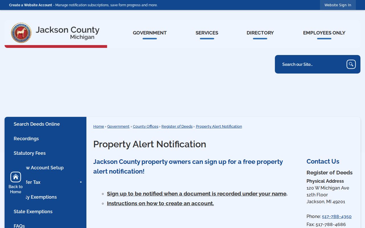
Property Alert can flag a new recorded document under a subscribed name. It is a monitoring aid, not a title guarantee or proof that a document concerns the correct person.
For a county-held existing record, Jackson County accepts FOIA requests through its online GovQA route, email, mail, fax, in person, or a written request. Identify the department, address or PIN, date range, and requested format. County procedures describe a five-business-day response period with one possible ten-business-day extension, plus an itemized fee estimate or deposit when applicable. Court files and voter data have separate procedures. A township request should similarly name the existing record and local custodian.
Mail or email is a fallback, not a reason to send sensitive identity information through an unverified form. Call the office first for coverage, fees, and the right request channel.
Limits on Summit Township Street Research
A street directory can describe public address-keyed records, not make claims about every person connected with an address. Michigan voter information has statutory redactions, and voter registration status should be checked through MVIC or the official public-file process. Driver and vehicle information is not a general address-search route. The Michigan Address Confidentiality Program, created by Act 301 of 2020 and codified at MCL 780.851 through 780.873, can provide an eligible participant with a designated substitute address.
Lawful use. Use Summit Township street records for a narrow, personal, lawful purpose such as family history, an estate matter, civic research, or checking a property record. Do not use address information to stalk, harass, intimidate, or harm anyone, and do not try to reconstruct protected information from separate records.
For a privacy question or a request for a redacted record, ask the custodian for the applicable exemption and a segregable copy. Record boundaries, source dates, and uncertainty in the same notes as the address search.