
Summit Township ZIP Code Coverage
The record supports address-by-address verification, not a claimed township-wide postal boundary. Code 49203 is repeatedly used for Township Hall, Summit Branch Library, Vandercook Lake County Park, Vandy Schools, and assessing material. That repeated use makes it a strong local clue. Some northeastern addresses near or within the City of Jackson may use 49201. No official source inspected supplied a legal Summit Township ZIP boundary, ZIP+4 boundary, or postal realignment date, so neither code should be presented as a universal rule.
| ZIP code | Areas or documented clue | Post office | Notes |
|---|---|---|---|
| 49203 | Used by Township Hall, Summit Branch, Vandercook Lake County Park, Vandy Schools, and assessing material | Specific office not verified; confirm through USPS | A repeated Summit Township clue, not an authoritative boundary |
| 49201 | Possible for some northeastern addresses near or within the City of Jackson | Specific office not verified; confirm through USPS | Check individually; the research did not establish its exact township extent |
Neither a local post office name nor a complete list of post offices for every township address was verified in the research. The USPS response for the exact address is the reliable postal result. Legal jurisdiction still comes from the county parcel record.
Verify Summit Township ZIPs Through USPS
The USPS ZIP Code Lookup supports four documented paths: street, city, and state; street and ZIP; city and state; and ZIP. Use the full address mode first when an exact address is available. A city-and-state search is useful only for exploration because a mailing city can span several local jurisdictions. Save the returned ZIP and city line with the date checked, then move to GIS rather than assuming the postal result identifies the township.
| USPS lookup mode | Information supplied | Best use | What it does not prove |
|---|---|---|---|
| Street, city, state | Full delivery address | Confirm an address-specific ZIP | Township or city jurisdiction |
| Street and ZIP | Address plus suspected code | Check a proposed ZIP against the street address | Parcel ownership or a precinct |
| City and state | Postal locality | Explore ZIPs used by a mailing city | Which code applies to every street |
| ZIP | Postal code | Review its USPS locality result | A legal boundary or ZIP+4 assignment |
Use the official USPS lookup to enter the exact street and postal locality.
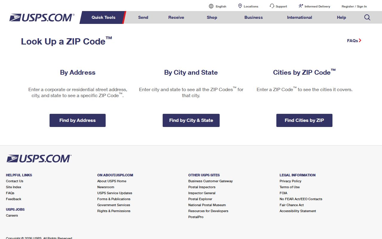
The USPS screen demonstrates the separate address and city lookup modes. It is a delivery-address tool, so it should precede, not replace, a government-unit check.
ZIP Code Fields in Jackson GIS
After USPS returns a ZIP, search the full address in the Jackson County GIS Parcel Viewer. The viewer accepts an address through `P_FULLADD`, an owner name through `OWNER` or `OWNER2`, and a parcel ID through `PIN`. Its popup separates `P_CITY` and `P_ZIP` from `GOVUNIT`. That field combination answers the question the postal result cannot answer: which local government the mapped parcel is in.
Other useful popup fields include `O_ADDRESS`, `LIBERPAGE`, `UPDATED`, `LEGAL_DESC`, tax unit, school district, parcel class, status, acreage, and current assessment groups. The owner mailing field is different from the situs address. The viewer is updated weekly, and it cautions that parcel information may not align with every image or layer. Keep its update date and the date of access with any comparison.
Open the Jackson County parcel viewer to compare `P_ZIP`, `P_CITY`, `GOVUNIT`, and `PIN` for a verified address.
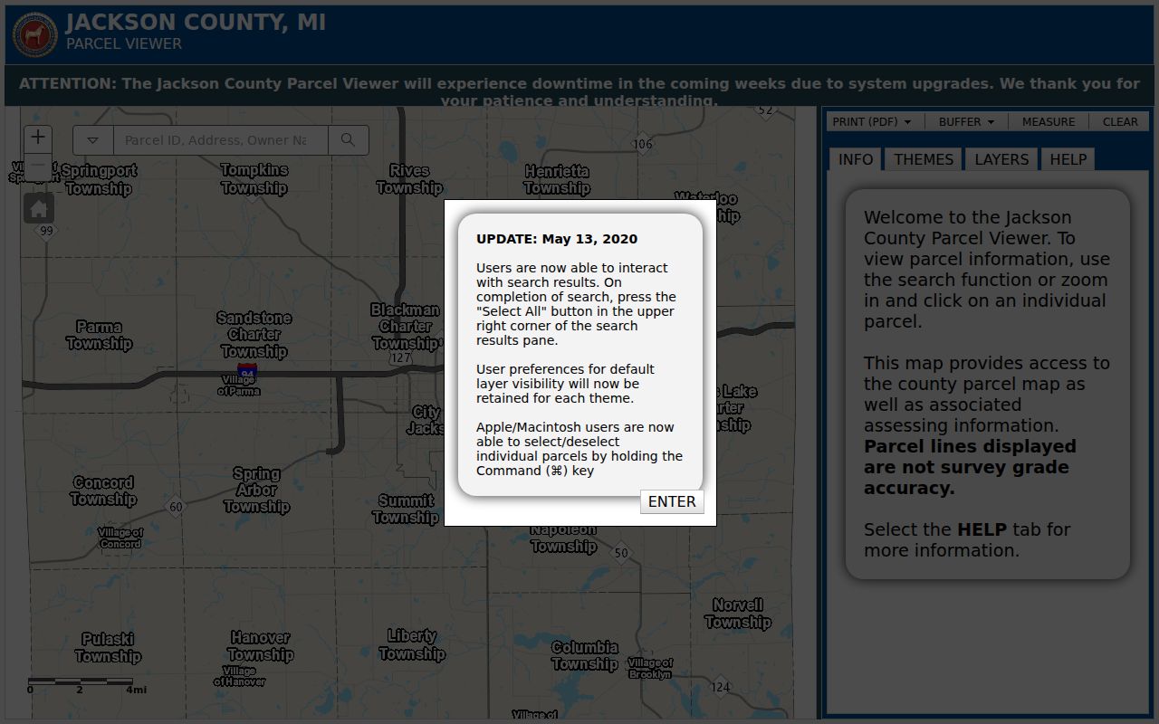
The parcel-viewer image shows why ZIP, mailing city, and government unit must be read as distinct fields rather than as interchangeable labels.
BS&A for Summit Township ZIP Checks
The Summit Township BS&A page is a second local check after USPS and GIS. Address search supports a street address and street-number range, with an advanced-address option. Name and parcel-number searches are also documented. It allows basic public lookup without an account, while property claims and payment functions follow separate portal rules. Use the service choice that fits the question rather than assuming property, tax, utility, permit, and assessment records share the same result fields.
Dedicated Summit forms redirected or were unavailable during the research inspection. As a result, exact local field lists for permits, taxes, utilities, and assessments, as well as historical coverage dates, remain unverified. A result should be preserved with its service type, source date, and parcel identifier. The site says users may claim up to five properties at no charge, but that account feature is not needed for a basic address comparison.
Choose the appropriate local service from the BS&A municipality source.
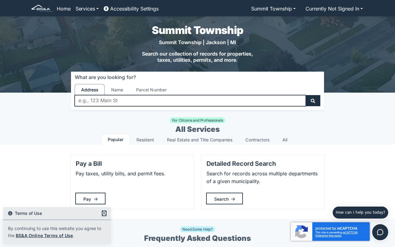
The municipality screen separates property and assessment services from other local record routes, which helps keep a ZIP-based address check focused on the right custodian.
Search Summit Township by ZIP Code
A ZIP code narrows an address question, but it does not create a complete resident list. Start with the postal result, then let the parcel record supply the PIN and legal unit. Summit Township BS&A documents address, name, and parcel number as basic property-search keys. Its public municipality page also routes to property, tax, assessment, permit, utility, sale, and special-assessment services. The research did not verify a local ZIP-filter field in BS&A, so use the full address or PIN rather than assuming a ZIP-wide property filter exists.
- Run the complete address through USPS and record the returned ZIP and mailing city.
- Search that address in Jackson GIS, then confirm `P_ZIP`, `P_CITY`, `GOVUNIT`, and `PIN` on the parcel card.
- Use the address or PIN in Summit Township BS&A for the applicable property or township service record.
- For election questions, use MVIC or the county precinct map. A ZIP does not select a voting precinct.
- When an individual street must be compared parcel by parcel, use the Summit Township street directory for the address-record workflow.
The sequence keeps the postal clue, mapping record, and township service record in their proper roles. It also avoids treating a shared ZIP as a substitute for a parcel search.
49203 as a Summit Township Clue
Several local reference points use 49203: Summit Township Hall at 2121 Ferguson Road, Summit Branch Library at 104 W Bird Street, Vandercook Lake County Park at 407 Parkway Street, and Vandy Schools at 1000 E Golf Avenue. The assessor material also uses the same postal code. Those repeated examples make 49203 a practical search clue when reading a local document or checking an address. They do not establish that every Summit Township location shares that code.
The distinction is useful for family-history notes and property research. Preserve the address as printed in the source, including its mailing city and ZIP. Then use USPS for the delivery result and GIS for `GOVUNIT`. A Jackson mailing address may serve a Summit Township parcel, a City of Jackson parcel, or another nearby locality, so postal familiarity alone is not enough.
Check 49201 Address by Address
Research found that some northeastern addresses near or within the City of Jackson may use 49201. It did not locate an official legal boundary that shows where 49201 begins or ends within the township, nor did it find a USPS ZIP+4 boundary or a realignment date. The careful conclusion is narrow: treat 49201 as an address-specific verification case. Enter the full address in USPS, then compare the returned postal information with the GIS parcel's `P_CITY`, `P_ZIP`, and `GOVUNIT` fields.
This is a local geography issue, not a problem with the address. Summit Township is a civil township, while the City of Jackson is a separate municipality occupying much of the northeast side and leaving an isolated township corner. A road can be familiar to residents in both places. Parcel-level confirmation prevents a ZIP code directory from blending their local records.
Summit Township ZIPs and Precincts
A ZIP code does not assign a voter to a precinct. For voter registration status, local-clerk information, or current voting details, use the Michigan Voter Information Center. For local geography, Jackson County's election page links to district and precinct maps, and the county polling-location page lists Summit precincts 1 through 8. Polling assignments can change by election, so use the live county page or MVIC for the date in question.
The county list places precincts 1 through 3 at Cornerstone Christian Church, precincts 4 through 6 at Summit Township Hall, and precincts 7 and 8 at Jackson Free Methodist Church. These are voting-location details only. They do not prove where a person lives, and a nearby address is not automatically in the same precinct. Michigan's public voter-file process includes statutory redactions; ballot choices are not public.
Historic Summit Township ZIP Labels
Older directories and maps may predate a current postal assignment or use a different place label. Search Jackson, Vandercook Lake, Jackson County, and the original street or community designation when tracing a historical address. Jackson District Library's Local History Archive offers digitized maps, documents, publications, postcards, and newspaper resources. The January 1893 Jackson Sanborn map has 25 sheets and is helpful for dated street and building context, not for a modern delivery boundary.
Library and archival research is often the right fallback when an address has changed form. JDL reference help is available at 517-788-4087, extensions 1339 and 1340; some databases require a library card or in-library access. The Archives of Michigan county guide identifies older assessment records and a 1936 to 1942 Rural Property Inventory. Preserve the printed label and year before comparing it to a modern ZIP result.
Limits of ZIP Code Boundaries
No authoritative Summit Township legal ZIP boundary, ZIP+4 boundary, or realignment date was found in the researched official sources. The practical workflow is USPS first, GIS second, and BS&A third. For a disputed or missing local road or address record, ask the township or county custodian for an existing record by address and date range. Jackson County FOIA accepts online, email, mail, fax, in-person, and written requests for existing nonexempt records; it does not require a body to create a new ZIP list or boundary analysis.
In person, Township Hall, the GIS office, county elections staff, and a USPS counter can help identify the appropriate procedure. The county GIS contact is 517-768-6692 and gis@mijackson.org; county elections lists 517-768-6759. For historical road and address questions, use JDL or the Archives of Michigan before making a records request. A written request should name the department, exact address, date range, and preferred copy format.
- ZIP versus ZIP+4
- A ZIP is the basic postal code. ZIP+4 adds a more specific delivery segment and is not a township-boundary identifier.
- PO-box ZIP
- A postal code used for post-office boxes. None was verified as a Summit Township coverage category in the research.
- Unique ZIP
- A code assigned for a single organization or large recipient. None was verified for Summit Township in the researched sources.
- Carrier route
- A postal delivery grouping used to organize mail. It is not a government jurisdiction or a public resident list.